This Weeks Walks
It would be very much appreciated if all walk leaders submitted a description of their walk. Preferably by the Monday preceding the walk. Descriptions can be emailed to
ramblingclubjohn@aol.com or telephone: 530306
This Weeks Walks

Thursday 21st June 2018
Evening Walk Followed by Dinner
Sands: 6.00pm
Both the walk and the dinner are optional
If you can't get to the Sands for 6.00pm you can come to the pub for 8.30pm
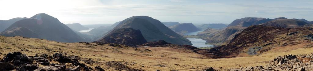
Brampton Area - The Sally - Irthington
4 Miles Grade 4
Start: Low Gelt Car Park, GR 520 592
Contact: John McKay - 01228 530306
X
We start at the car park adjacent to the swimming pool to the east of Greystoke village.Leave the car park and head to the centre of the village and enter the grounds of Greystoke Castle.We continue along the drive and swing right via the cattle grid and follow the open track through the parkland.We make our way to the Holmes farm complex and then pas a pond..As the track forks left we pass an old Dutch barn.We pass old Nab wood on the left.Head due west uphill passing a triangular enclosure on your left..Traverse the open pasture SSW towards two forlorn trees.Continue in a NW direction to find a gate in the wall, to the right of a small woodland enclosure.(travelling time 1hr 10 min)Enter open access land and bear right to a gate a distance of 100m Bear left along the limestone pavement and onto the summit of Berrier hill.After savouring the view head NNE and the NNW to the plantation tip.Find a thorn bush beside a low outcrop.Short of the plantation corner find a gate in the fence giving access to the next wild wet pasture.Bear left to Gillcambon tarn around the west side of the tarn to a small outcrop for lunch.Travelling time 2hrs 10 min.Leave the outcrop in a ENE direction uphill.Head towards an open to a gate access board and gate.After the gate keep the fence close left with the quarry behind you.Come to a gate and open track emerging from the quarry. Take this track right .Follow the track to a junction and take the right angle open track which threads through a low element in the scarp.Note the walled enclosure left.Travel along the scarp joining and accompanying the fence.On the scarp enjoy the views and head towards the end of the scarp.Bear off down the pasture slope with the wall on your left.Head through old nap wood. 1 hr 32 min.We then retrace our steps to HOLME FARM and the village.
Wednesday 20th June 2018
Greystoke
8 Miles Grade 2
Leader:Mike Coates
Sands: 9.15am
X
X
Sunday 24th June 2018
A/B/C Walk
Ullswater Way - All The Way or Part of the Way
4/5/22 Miles Grade 2/3/4 (Several options,see list below)
Leader: Heather Perrin
Sunday 24th June 2018 - Car Walk: Sands: 8.00am
The Ullswater Way
In Aid of
North Air Ambulance
A walk where all members can participate


8.00am Start - Be there early so we can sort out cars
Ullswater Way
In Aid of
North Air Ambulance
Ullswater Way June 24th
For someone who likes to be super-organised, this is going to sound a bit easy-ozie but there are many options, so bear with it.
21.5 miles/22 miles to go so please be at The Sands by ten to eight so we can sort out cars and go at 08.00.
If you would like a meal afterwards, possibly at Tirril, I’ll need to know numbers. Please email or ring me if you intend to come rain or shine and would like to celebrate your achievement.
Parking £3 all day in Pooley Bridge (PB), just past the Sun Inn.
Toilets/food – Daffodil café at The Quiet Site at Bennethead, Aira Force (AF), Glenridding (GR), Side Farm, Lowther Tea Room just before Howtown. I don’t want to stop much but it means you can just buy stuff as you go along and not carry it.
Escapes!!Here is the link to the 508 bus timetable https://www.stagecoachbus.com/timetables You can make a bid for freedom at AF or GR.Here is the link for the Ullswater Steamers. https://www.ullswater-steamers.co.uk/timetable-fares/
If you intend to abscond, you’ll need bus passes/money etc.Paper copies of timetables available Tourist Info or Tullie House.
Hard-core A walk.
7.25 miles. Anti-clockwise from PB, a bit uphill, fields, caravans, Maiden Castle (nothing there) away from the lake.One discussion point at possible path across field towards Watermillock, saves half a mile, but always a bit damp and indeterminate path, option by road is easier.From the entrance to Swinburn Park, lovely walking.We’re going over Gowbarrow, the ascent is such that you hardly realise it’s happened.The descent towards AF is a bit more taxing.
3 miles easy walking to GR. One tiny section on the road – they couldn’t dig through Stybarrow Crag – and some parts down at the lakeshore.
6.8 miles. Through GR, left at Side Farm in Patterdale and then one of Wainwright’s favourite walks, utterly delightful, round Silver Bay. This can best be described as ‘uppy-downy’, with tree roots and stony paths, so it’s not such fast going. Arrive in Howtown.
4 miles lower path, 5 miles upper path. We cross the only road in and out of Howtown and then follow very easy paths to the split. I will probably do the lower one but I think club rules might relax to allow the group to divide if some want to do the higher path, up towards Barton Fell and The Cockpit. The lower one is a gentle meander through Waterside Campsite and lakeshore.
B walks. John will lead from PB; however nothing to stop walkers going with the A walkers and escaping or indeed, going clockwise to Howtown or GR and getting steamer or bus back.
Heather
B Walkers
I intend to just keep going as long as I can, 22 miles is a long way and it’s a long time since I walked that distance in one day. I’ll be doing it at a steady pace and will stop for coffee at every available café. I may well go round Gowbarrow rather than over. The first opt out is Aira Force, 7.5 miles, I’ll make my decision at Glenridding, if I’m going any further. Glenridding is the half way point and after Glenridding the only get out is Howtown, which is only 4 miles from the finish. If I do decide to carry on you are not obliged to follow me and I will be taking the low path. There are several alternatives, for example, you could catch the ferry from
Glenridding to Howtown (£7.05 ) then walk the last four miles to Pooley Bridge.
You should not feel embarrassed at all about deciding to opt out at any point.
Any walk you decide to do will be a great contribution.
Come along and give it a go, it’s all in a good cause.
Remember, it's an 8.00am start from the Sands
Try and be there for 7.45am to allow time for cars to be sorted out
All donations will go to
The North Air Ambulance
If you intend to go for dinner at the end of the day, in Pooley Bridge or Tirril,
Please let Heather or me know
John
Walk Options
Ullswater Way - All the way - 21.5/22 Miles Grade 2
Pooley Bridge - Howtown - (Ferry to Pooley Bridge) - 17 Miles Grade 2/3
Pooley Bridge - Glenridding - Ferry to Howtown, Walk 4/5 miles to Pooley Bridge- 14/15 Miles Grade 2/3
Pooley Bridge - Glenridding - (Bus or ferry to Pooley Bridge) 10 Miles Grade 2/3
Pooley Bridge - Aira Force (Bus or ferry to Pooley Bridge) 7.5 Miles Grade 3
Ferry to Howtown - Howtown to Pooley Bridge - 4/5 Miles Grade 4 or the other way round
Pooley Bridge to Howtown - Ferry to Pooley Bridge - 4/5 Miles Grade 4
Car Walk: Sands:8.00am
Carlisle & District Rambling & Fellwalking Club
affiliated to hfholidays