Sunday 10th August 2014
A Walk
Ravonstonedale, Randy Gill Top, Green Bell, Newbiggin on Lune
9 Miles Grade 2
Walk Research: Heather Perrin
Leader: Group Led
Coach Walk, Rosehill 8.50am Sands 9.00am
Carlisle & District Rambling & Fellwalking Club
This Weeks Walks
This Weeks Walks
Sunday 27th July 2014
B Walk
Great Asby Scar from Orton
8.5 Miles Grade 3
Leader: Gill Thompson
Coach Walk, Rosehill 8.50am Sands 9.00am
It would be very much appreciated if all walk leaders submitted a description of their walk. Preferably by the Monday preceding the walk. Descriptions can be emailed to
ramblingclubjohn@aol.com or telephone 530306
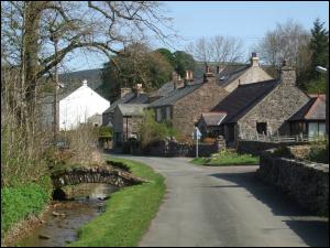

Dufton circular - 6 miles/ grade 4 : Grid Ref: NY.689250
Starting at Dufton carpark (Toilets) we drop down through woods to
eventually reach the road at Church Bridge and then onwards to the
Church. After field paths and a short road walk we come to the village of
Knock. From here we follow the lane and field paths to circumnavigate Dufton Pike before joining a path taking us back to Dufton.
There is a pub and café/post office in Dufton village.
David.
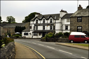
SUNDAY 10th August 2014
Coach Walk, Rosehill 8.50am, Sands 9.00am
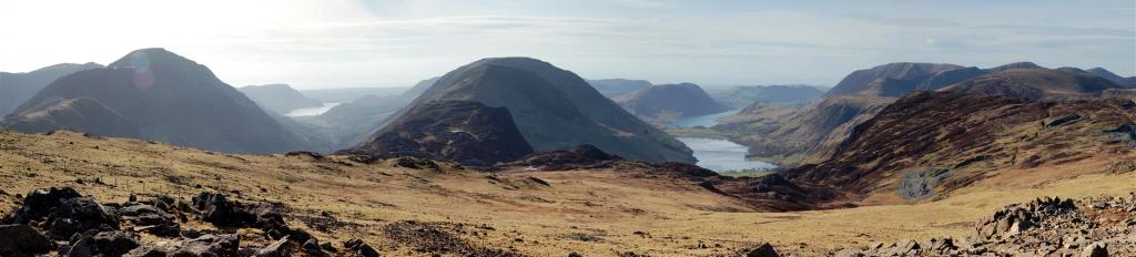
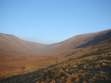
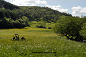
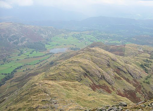
Going by the map and websites, I think this is the walk description, open for dynamic discussion en route. Hoping the bus can drop us off either on the main road or in Ravenstondedale itself, we need to take the track to Kilnmire Farm and onto the fell. Knoutberry and Green Bell (605m) should be clearly seen. The final climb to Green Bell is steep but if visibility is good we should be able to see Harter Fell (yet another one!) and Wild Boar Fell.
From here we walk over to Randy Gill Top, a well-defined route and we should get views down into the Weasdale Valley. Heading north, we descend into Leathgill Bridge, ascend up to an unnamed top at 586m and descend to Hooksey. Following the track, we make for the house called Cow Bank , and then through the hamlet of Weasdale. Turning left off the road we take a bridleway and then a path to the right towards the road into Newbiggin.
Heather
To save a bit of road walking, I hope to start this walk at Knott lane,on the B 6261 road. There are a series of fields to cross to Acres,with good views across to the Howgills. A short stretch of road,then up an enclosed path and gradually rising up to the limestone pavement.-clints and grikes with many different ferns in the gaps. A post with a yellow marker marks the high point of the walk. Dropping down we now have views to the Pennines and come to a rough track which we follow to the left to reach Sayle lane.
After another short stretch of road we continue on a good track leading to the entrance of Great Asby Scar national nature reserve. For me this is a delightful area through heather and lots of wild flowers. After leaving the reserve a grassy path gives way to a path contouring round the hillside,with views this time of the eastern lakes, eventually coming into the lane we started on,and from here back into Orton.
Gill
Sunday 10th August 2014
C Walk
Tebay to Orton
6 Miles Grade 4
Leader: Graham Bell
Coach Walk, Rosehill 8.50am Sands 9.00am
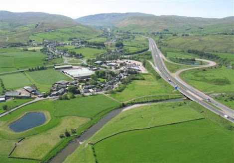
After leaving the coach on the B6261 two miles west of Orton the walk heads south to Sproat Ghyll Farm.
Carrying on in a southerly direction we will pass the back of Tebay Motorway Service Station to reach the River Lune at Low Scales. The Lune is followed in an easterly direction to Tebay Bridge. The walk continues eastwards past Coatflatt Hall to Raisgill Hall Bridge where a sharp left turn takes us in a northerly direction for the walk into Orton.
A pub and tea shop awaits in Orton.
Graham